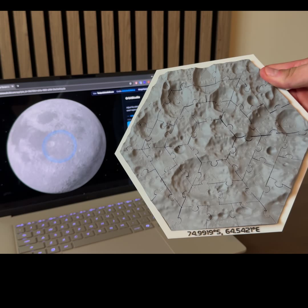
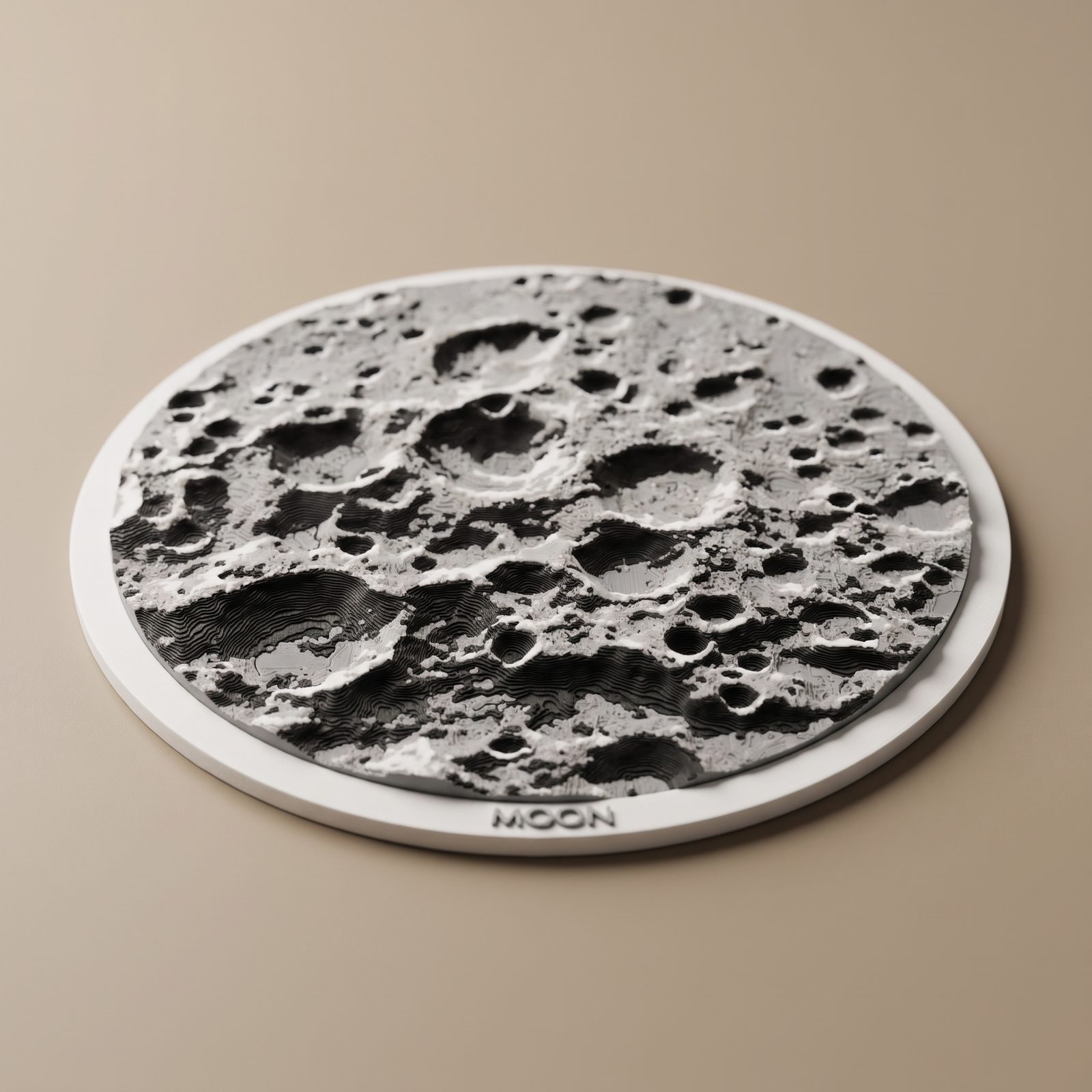
Elevation data: NASA Lunar Reconnaissance Orbiter (LOLA) for the Moon,
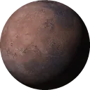
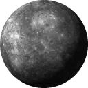
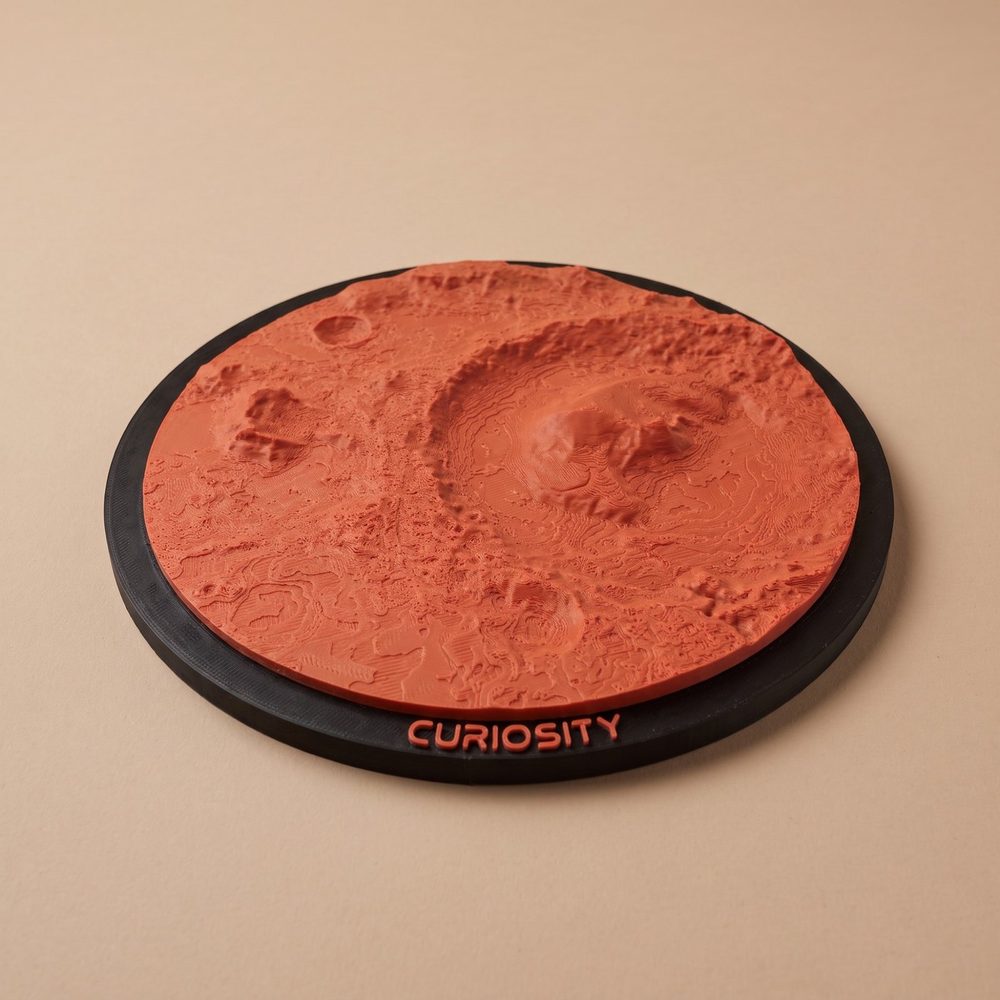
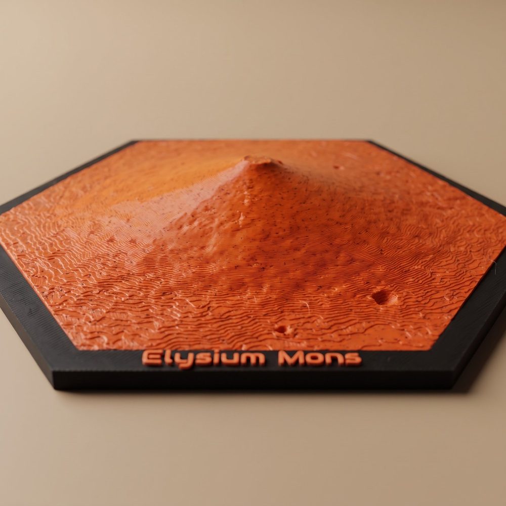
NASA Mars Global Surveyor (MOLA) for Mars, the USGS MESSENGER global
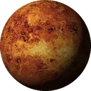
elevation model for Mercury and NASA Magellan's radar altimetry (P. G. Ford and
G. H. Pettengill, MIT) for Venus, all published by the
USGS Astrogeology Science Center
and in the public domain. Mercury's poles add NASA GSFC's north polar
topography (E. Mazarico, 2022) and the south polar topography of Bertone et al.
(doi:10.5281/zenodo.19740142),
licensed CC BY 4.0, modified.
Map imagery via NASA Trek: LRO WAC for the Moon, Viking MDIM 2.1 for Mars,
MESSENGER MDIS for Mercury, Magellan radar for Venus, which the globe shows in USGS's
simulated color. The Mars grayscale relief layer additionally uses
Mars Express HRSC by ESA/DLR/FU Berlin, licensed
CC BY-SA 3.0 IGO.
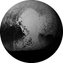
Pluto's elevation data and map imagery: NASA/JHU APL/SwRI/LPI, New Horizons;
Schenk et al. 2018; USGS Astrogeology.
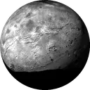
Charon's elevation data and map imagery: NASA/JHU APL/SwRI/LPI, New Horizons;
Schenk et al. 2018; NASA Planetary Data System.
Vesta's elevation data: NASA/JPL-Caltech, Dawn Gravity Science Team; Park et al. 2025
(doi:10.1038/s41550-025-02533-7);
NASA Planetary Data System (NAIF). Vesta map imagery: Vesta true-color mosaic: DLR / Dawn mission
(NASA/JPL-Caltech/UCLA/MPS/DLR/IDA); Roatsch et al. 2015, NASA
Planetary Data System;
shaded with our own relief.
Ceres's elevation data: NASA/JPL-Caltech, Dawn Gravity Science Team; Park et al. 2019
(doi:10.1016/j.icarus.2018.10.024);
NASA Planetary Data System (NAIF). Ceres map imagery: Courtesy NASA/JPL-Caltech
(Dawn, PIA20354), colorized.
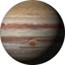
Jupiter map and colours: NASA, ESA, A. A. Simon (NASA GSFC), M. H. Wong (UC Berkeley), Hubble Space
Telescope OPAL program, image of 11 December 2025, archived at MAST
(doi:10.17909/T9G593), licensed
CC BY 4.0, modified:
resampled to planetocentric latitude. Jupiter models are flat; the clouds have moved since.
Mimas's elevation data: J. R. Weirich, R. W. Gaskell, E. E. Palmer, D. L. Domingue (Planetary Science
Institute), Mimas SPC shape model from NASA/JPL-Caltech/SSI Cassini images; NASA
Planetary Data System.
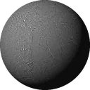
Enceladus's elevation data: NASA/JPL-Caltech, R. S. Park et al., Enceladus shape model version 2
(doi:10.1029/2023JE008054);
NASA Planetary Data System (NAIF). Mimas and Enceladus map imagery: Cassini imaging team
(NASA/JPL-Caltech/Space Science Institute), mosaics by DLR; NASA Planetary Data System, COISS_3006 and
COISS_3002; and enhanced color by Paul Schenk (NASA/JPL-Caltech/SSI/LPI), shown on screen only.
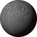
Tethys's elevation data: J. R. Weirich, R. W. Gaskell, E. E. Palmer, D. L. Domingue Lorin (Planetary
Science Institute), Tethys SPC shape model from NASA/JPL-Caltech/SSI Cassini images; NASA
Planetary Data System.
Tethys map imagery: Cassini imaging team (NASA/JPL-Caltech/Space Science Institute), mosaic by DLR;
NASA Planetary Data System, COISS_3004.
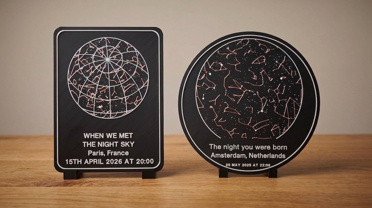
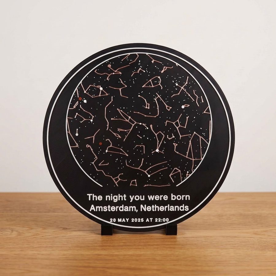
Star charts: stars from the Bright Star Catalogue, 5th Revised Ed. (Hoffleit & Warren, 1991), via NASA HEASARC.
Constellation figures: IAU and Sky & Telescope,
licensed CC BY 4.0, modified.
Place search © OpenStreetMap contributors.
OrbitStudio wird weder von der NASA, dem USGS, der ESA, der IAU noch von Sky & Telescope unterstützt.